
DISCUSS:
Can you think of reasons why one place might flood more than other places?

DISCUSS:
What is the ground like where you live?

DISCUSS:
What could turn a puddle into a fast-moving river of water?

DISCUSS:
How could you figure out which part of Texas gets the most flash floods?

DISCUSS:
Imagine you're starting with a totally blank map of Texas.
What information would you want to add to your map to help you find Flash Flood Alley?



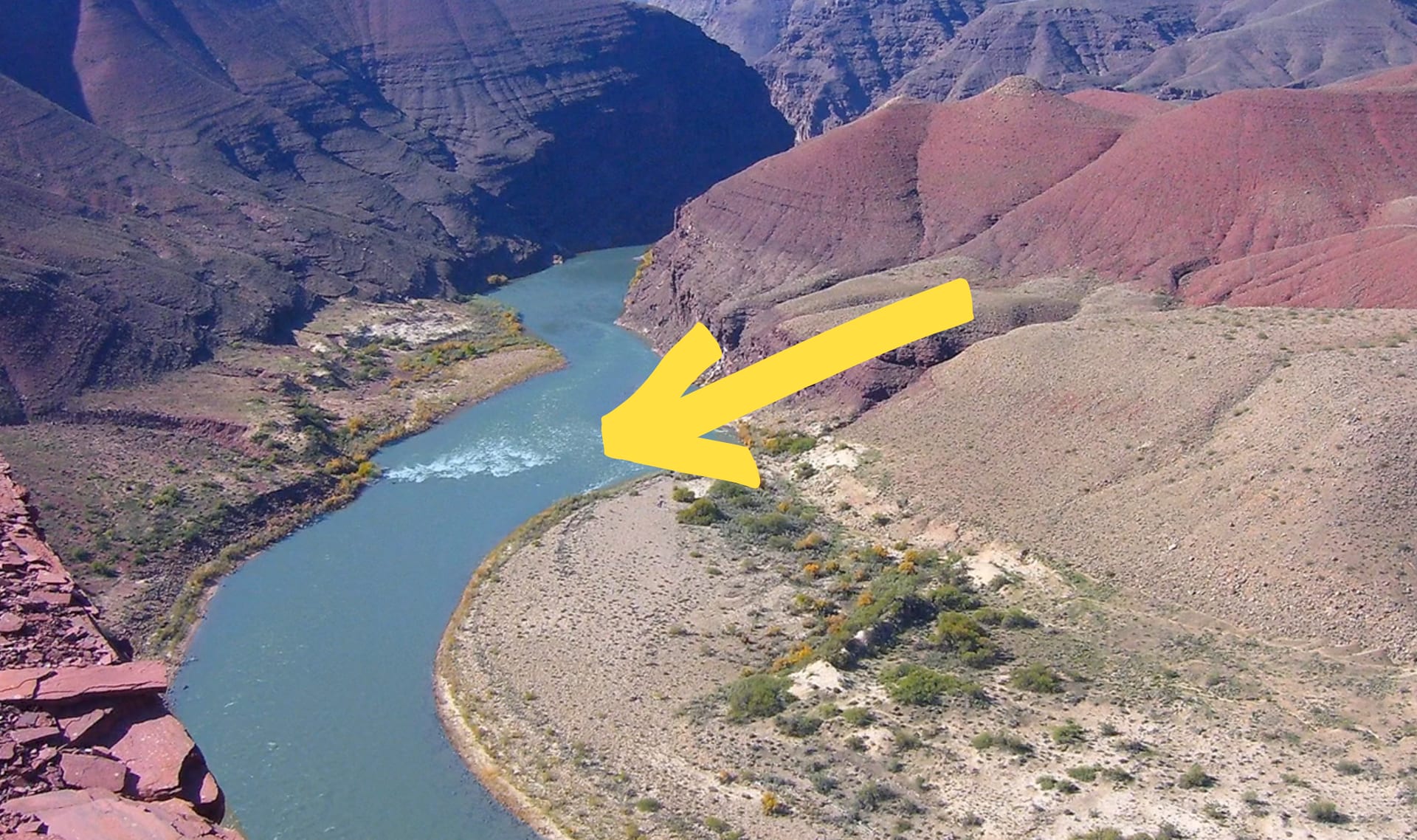
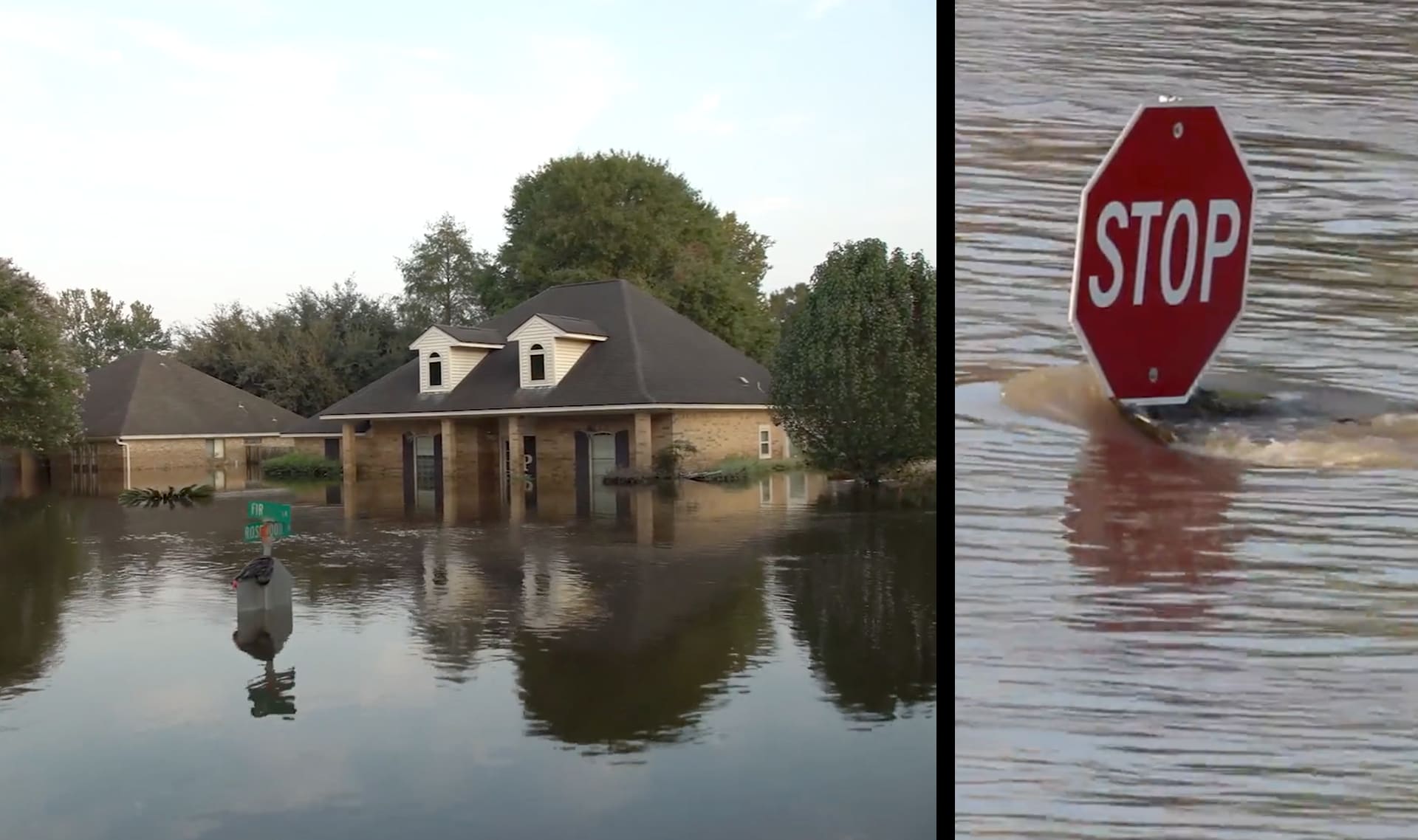


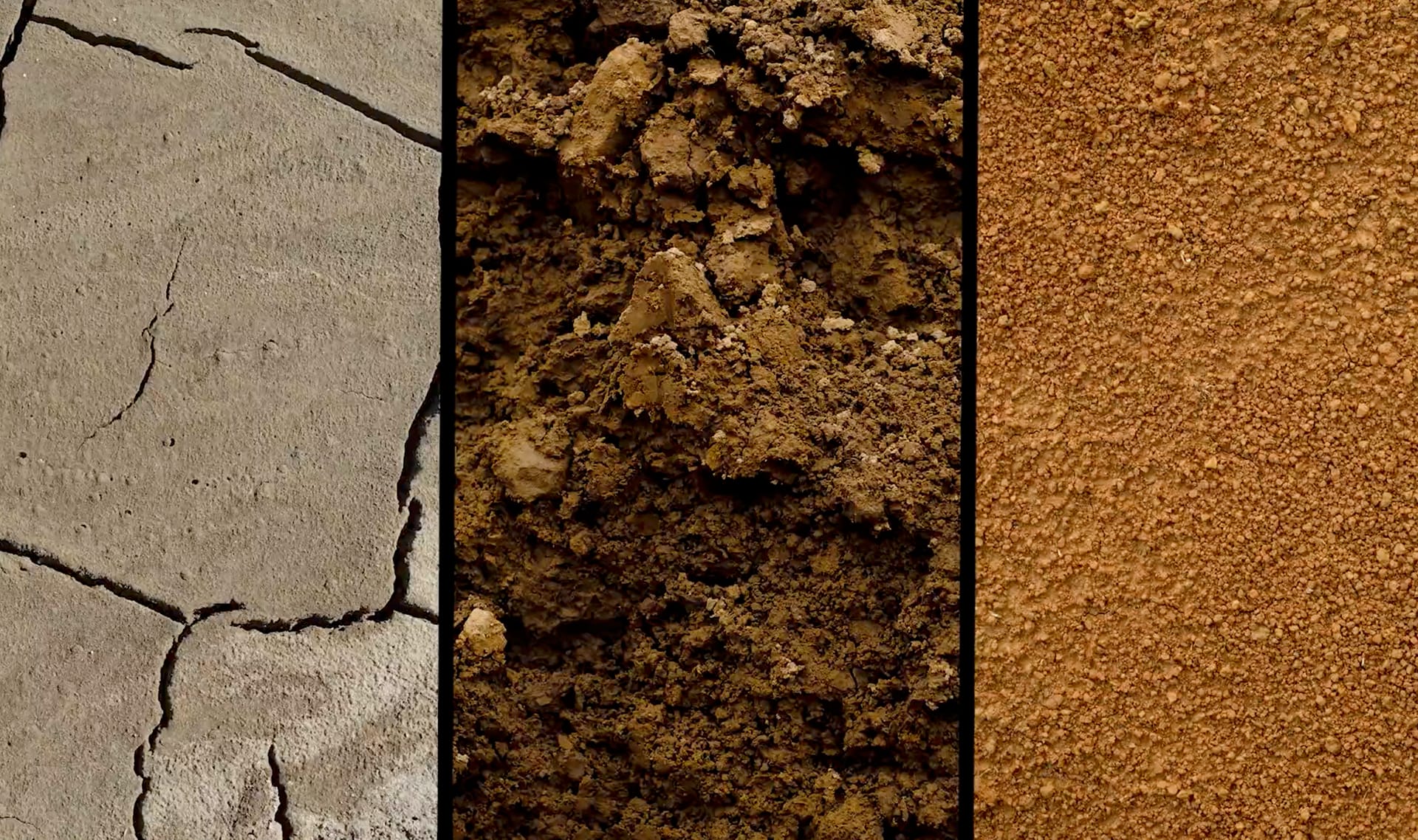


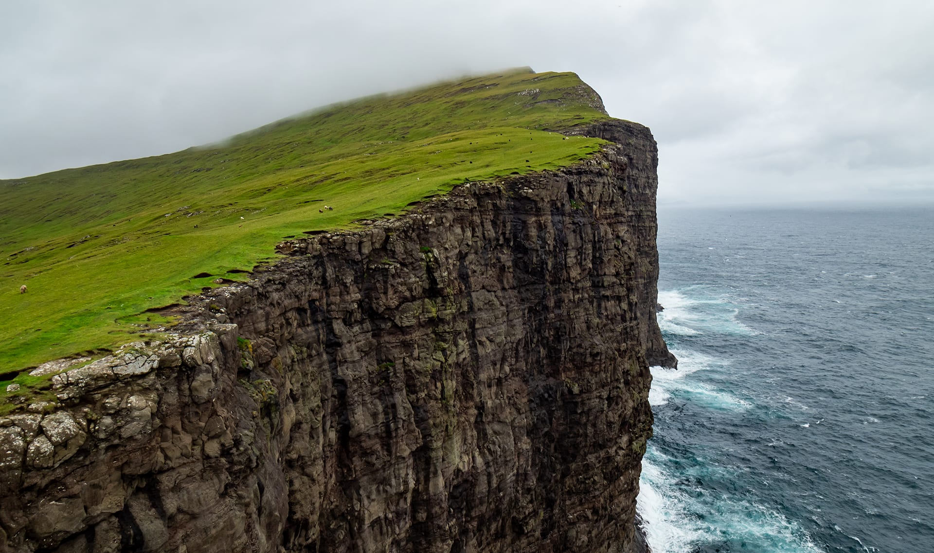
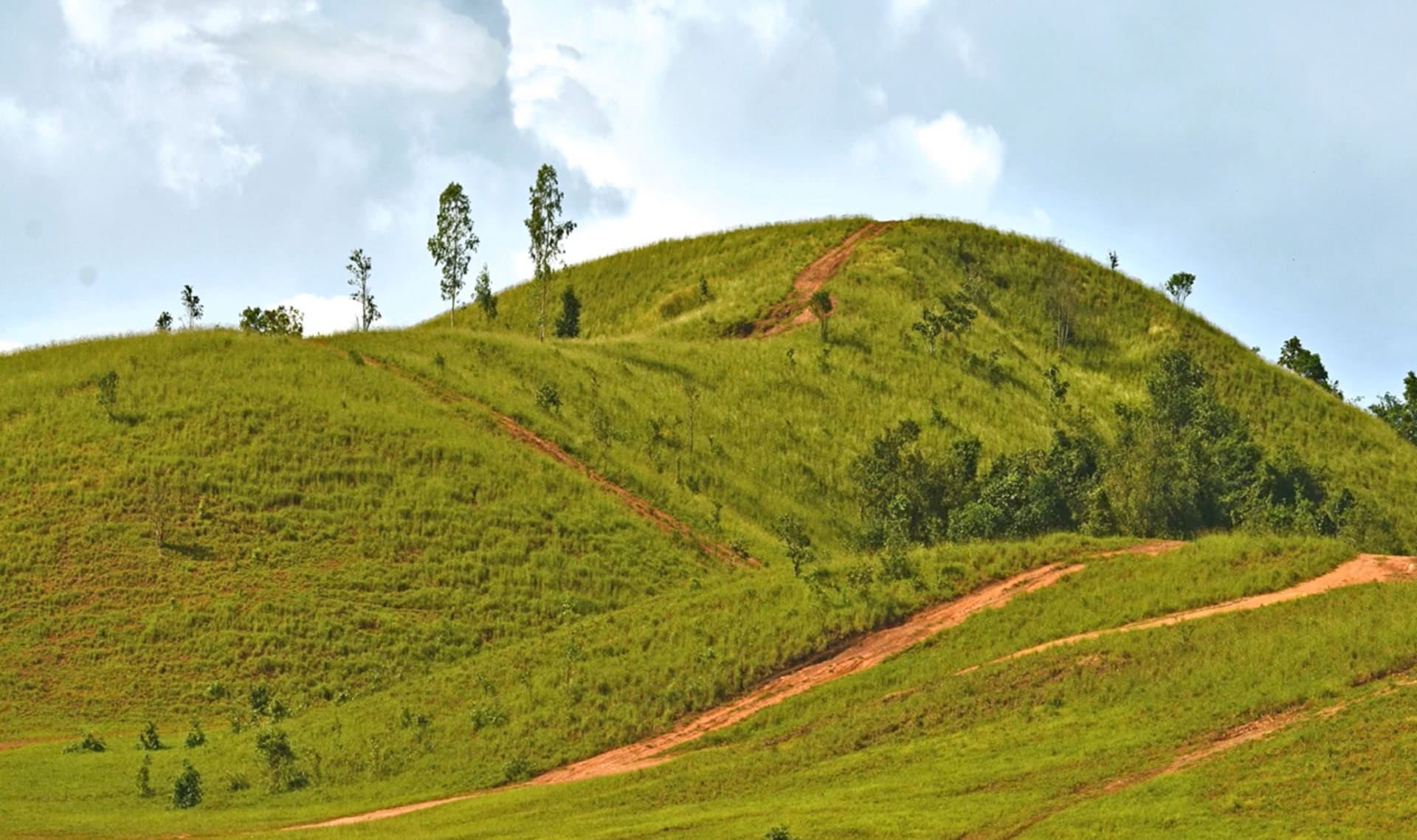
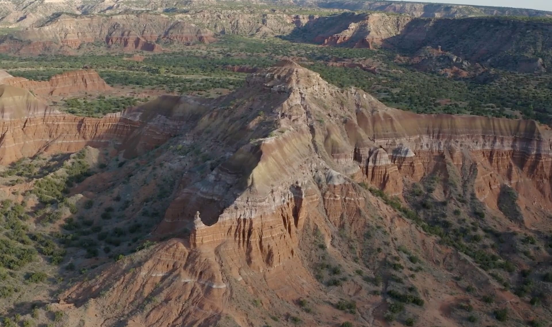
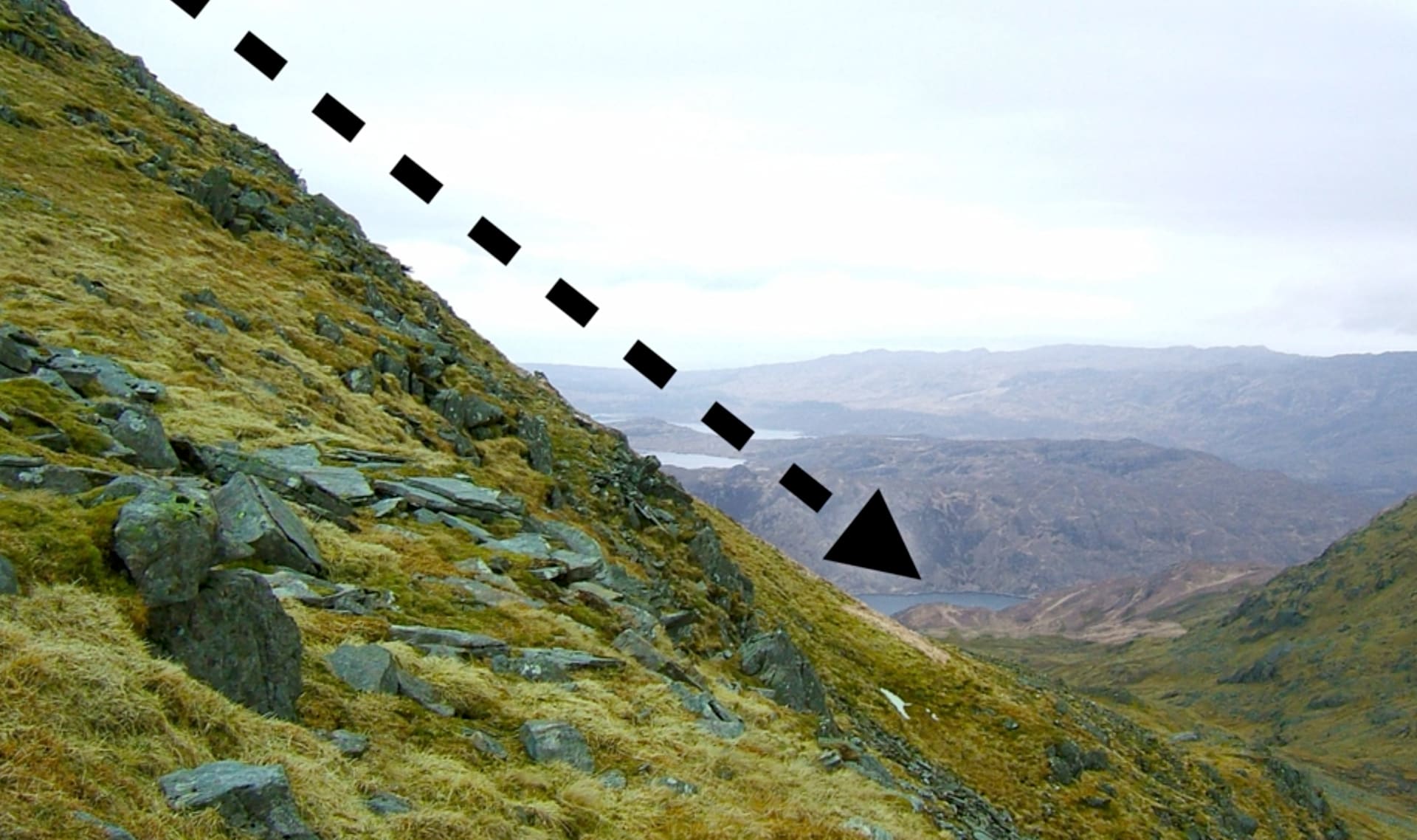
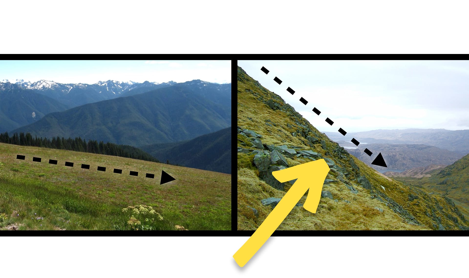
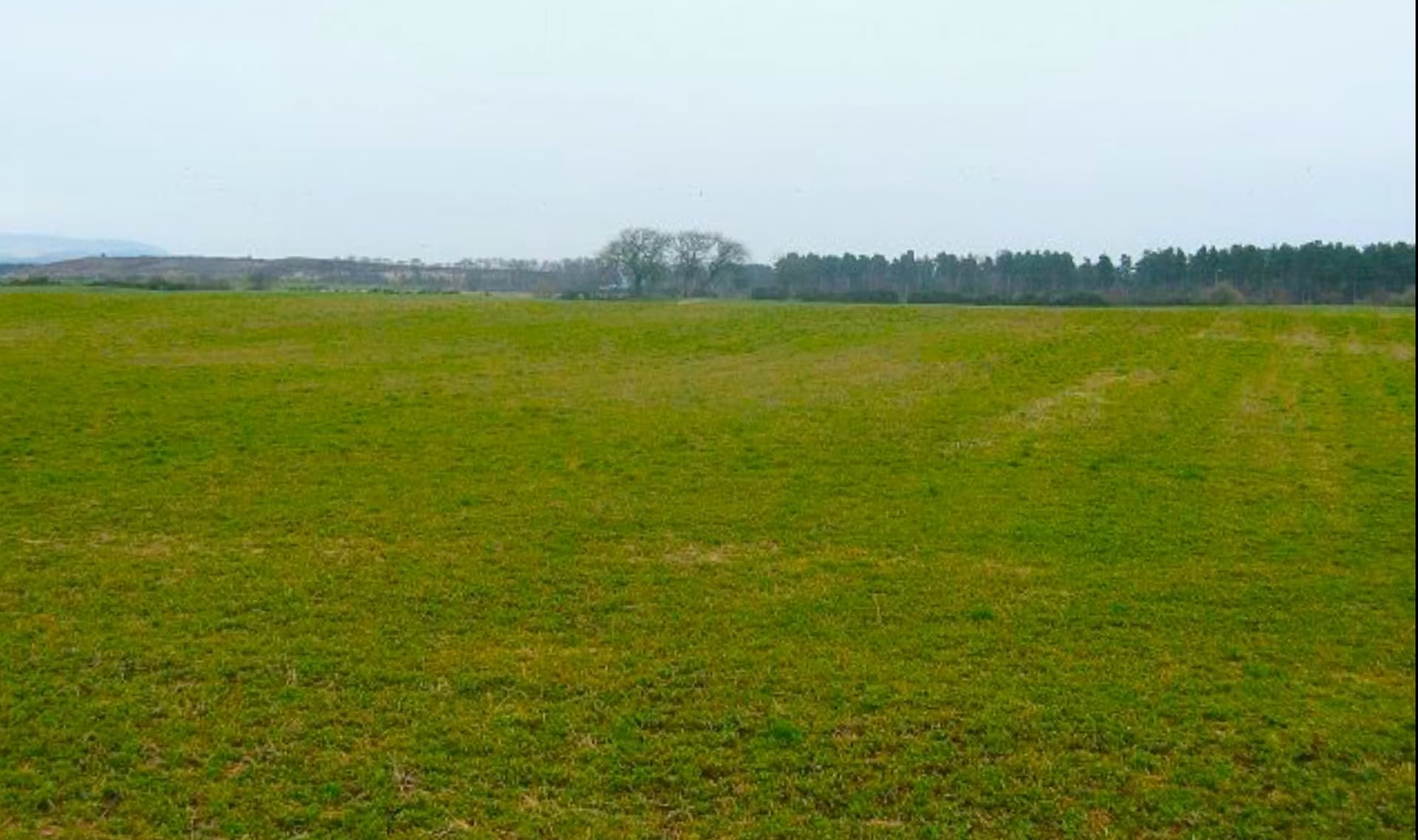
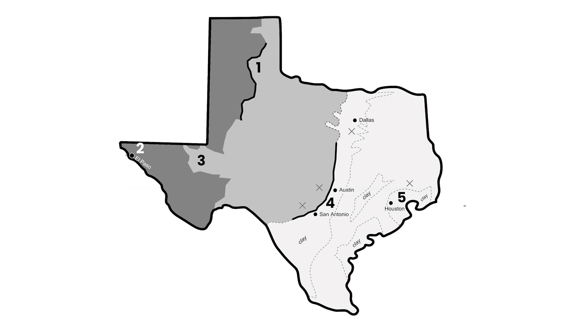
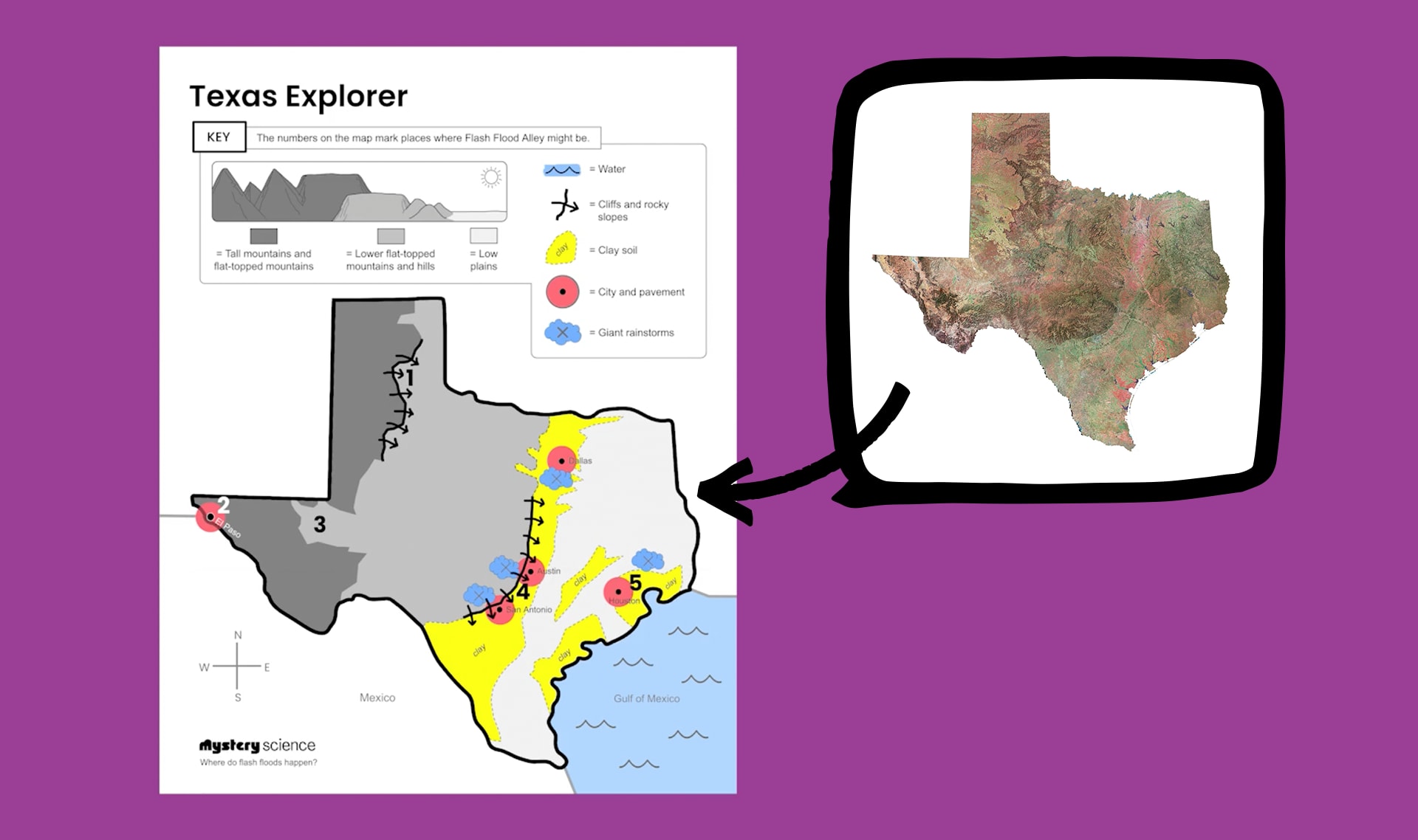
In this lesson, students explore the phenomenon of flash floods and create an explanation of why these severe weather events are more or less likely in different regions. They specifically attempt to locate and explain a unique region in Texas known as Flash Flood Alley. In the activity, Find Flash Flood Alley, students develop a map to document how land and water interact across the state. Students then use that map to explain how different shapes and kinds of land increase or decrease the chances of rainfall causing a flash flood.
Preview activity| Flash Flood Finder printout | Print 15 copies |
| Texas Explorer Map printout | Print 30 copies |
|
Crayons
We suggest yellow, red, and blue crayons for each student.
Colored pencils also work.
|
Details
90 crayons
|
|
Scissors
|
15 pairs |
We suggest students work in pairs. Homeschool students can work on their own.
Thanks for your feedback! If you have a question or need help, please contact us. Please consider sharing your review:
Sorry the lesson didn’t go well. We read every single review in an effort to improve our Mysteries.
Thanks for letting us know. We’ll wait to ask you for feedback until after you've actually taught it.
Thanks for the feedback! We read every single review in an effort to improve our Mysteries.
Please follow these steps:
Locked
6:10

Why is the sky blue?
Locked
4:41

Why do we call them doughnuts?
Locked
5:16

Could a turtle live outside its shell?
Your membership is expired. The archive of past Mini Lessons is not included in your limited access.
View pricing